Geography
Sumba has an area of 11,082 km2 it belongs to the small Sunda islands which makes it 73rd in size.
Legend has it that heaven and earth were once connected by a staircase.
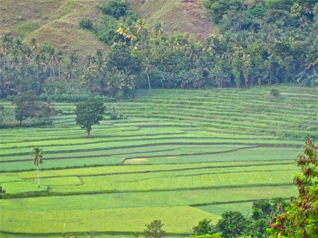
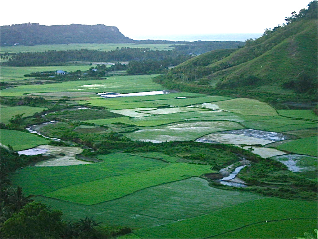
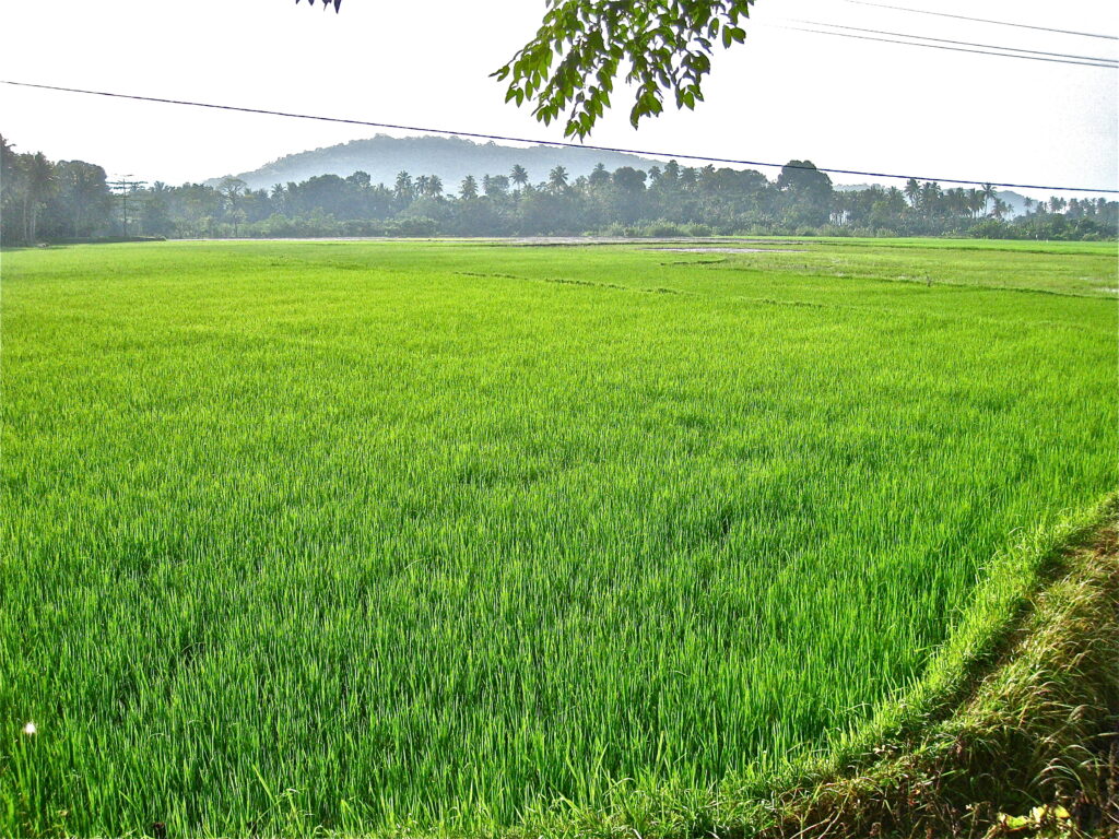
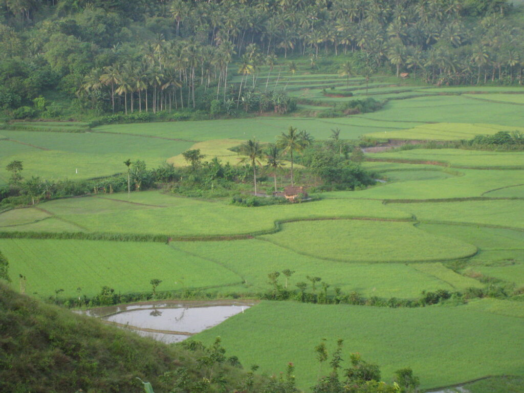
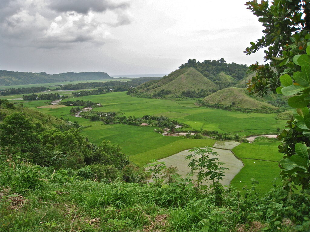
The first inhabitants of Sumba came down the ladder and settled on the island. Unlike its neighbors to the north with their volcanoes, Sumba is mostly flat with winding river canyons cut into high green plains.To the northwest of Sumba is the island Sumbawa, to the north-east, across the Strait of Sumba (Selat Sumba) lies the island of Flores to the east, crossing the Savu Sea, lies the island of Timorto the south, crossing part of the Indian Ocean, we reach the continent of Australia.
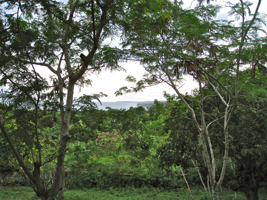
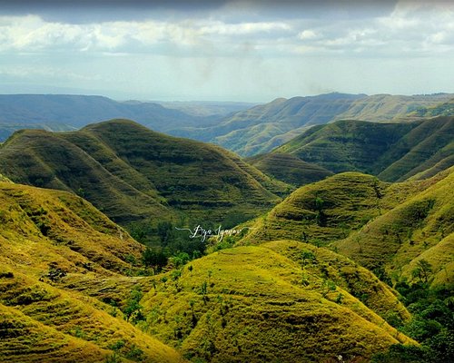
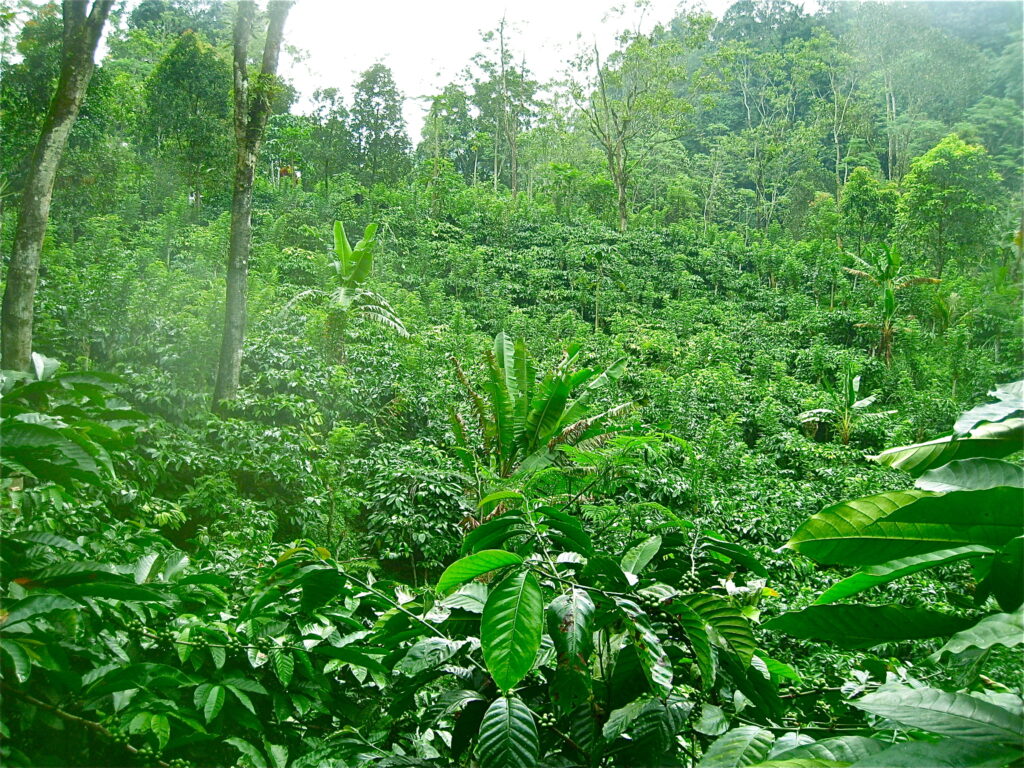
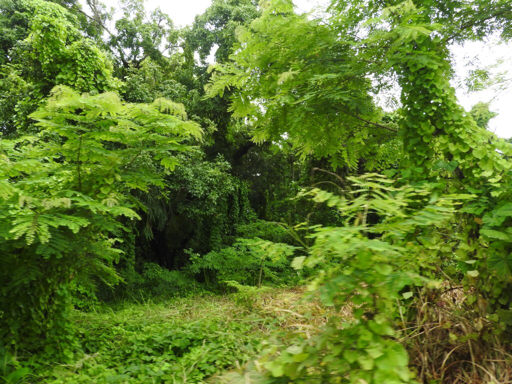
The center of the island is occupied by a large flat area covered with savannahs, which has an average height of 600 m, rising towards midday where Mount Massoe exceeds 800 m. Also towards the north there are other peaks (Merkberg, Batoe Capedo, etc.). The coasts are jagged with ledges and good anchorages but the low coastal strip is replaced by steep slopes covered by the forests from which sandalwood is obtained.
The prevailing formations on the island are the sedimentary ones that reach the sea, especially towards the south where the limestone rocks end up on the coast with steep slopes carved by marine erosion.
There is no shortage of volcanic formations, frequent in the northern section, but no recent volcanic manifestations are known.